OUR APPROACH
_______________
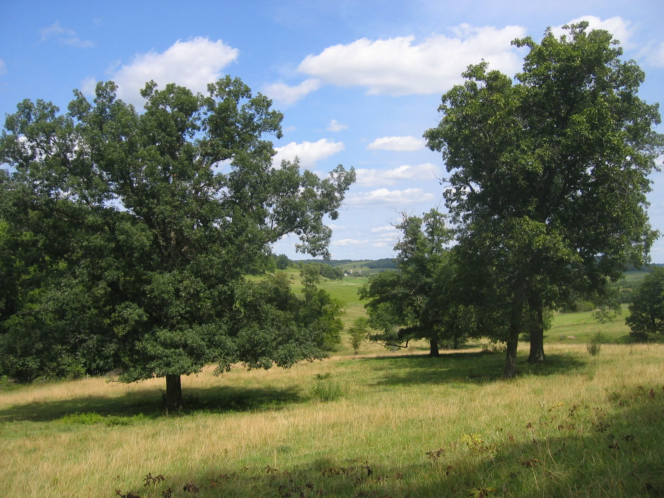
Our Vision
We acknowledge that many people are engaged in a wide variety of conservation practices. We envision a future where together, we work collectively with shared expertise and funding to overcome climate challenges and improve, conserve and protect the shared soil, water and biological resources that are fundamental to the region’s future economic prosperity, health and wellbeing.
The Challenge
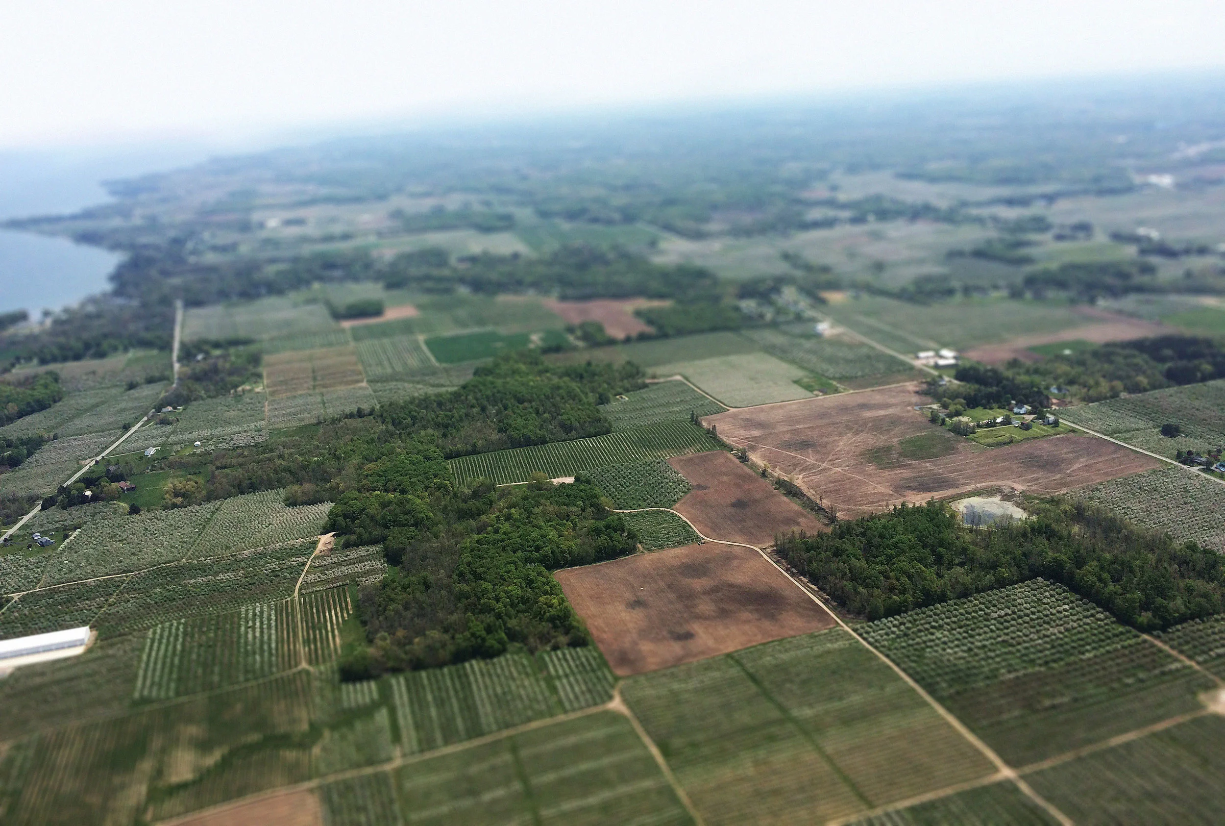
Pollution in urban, rural and agricultural areas contribute to water quality and soil health issues in the region. The effects, combined with a warming climate, pose environmental and public health hazards, threaten the region’s economy and hurt the quality of life for plants, animals and people.
Our Approach
Improved soil and water quality across the region hinges on many people working together to create large areas of climate-resilient land where environmental conservation is practiced.
A Plan for Northwest Illinois is supported by a volunteer team, led by a Steering Committee, with three working groups: one focused on farmland, one focused on urban and developed land and one focused on determining priority areas where conservation practices would have the greatest impact on water quality.
WORKING GROUPS
_______________
Working Lands (Farmland)
Conservation agriculture is a set of farming practices that is good for the environment—and can save farmers time and money. From cover crops and conservation tillage, to bioreactors and constructed wetlands, conservation practices are designed to reduce pollution and protect nature. The Working Lands working group brings together landowners, land managers and others in the field of agriculture to share information and resources and promote these practices.
Urban and Developed Lands
Urban conservation practices include collecting rainwater, landscaping to reduce runoff, aerating soil, installing porous pavement, picking up pet waste, reducing fertilizer use and installing green roofs. These practices maintain healthy soil, reduce air pollution and keep wastewater out of sewers. The Urban and Developed Land working group brings together policy makers, homeowners, municipalities, businesses, industry and others to make conservation practices commonplace.
Prioritizing Areas with GIS Mapping Tools
We know who, what, why and when – but we need to determine where. This working group uses GIS mapping technology to determine the watersheds in Northwest Illinois with the greatest potential for recovery. From there, we prioritize areas in the watershed where people are interested in doing more. The region is vast, and the goal of this working group is to help us know where to begin.